Product Description
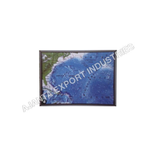
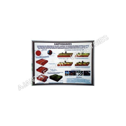
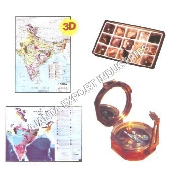
For investigation of Geographical and Geological features eight Land form Models joint to form a continuous 3' x 3' model and provides the Mountains, Lakes, Rivers, Deserts, Glaciers, Coastlines, Canyons and Cultural Point Advanced Printing for Vivid and Accurate LearningUtilizing high-definition offset and digital printing, our geographical maps produce sharp, colorful visuals with UV-resistant ink. This technology ensures longevity and clarity, making every detail easily legible for classroom environments. The choice of glossy or matte finish allows educators to select the best surface for their specific needs, whether for interactive teaching or durable long-term use.
Flexible Mounting and Customization OptionsOur maps can be wall hung, pulled down on a roller, or stand-mounted to seamlessly fit any learning space. Dimensions and shapes are fully customizable, offering flexibility for unique display or curriculum requirements. Lamination is available for added temperature resistance (up to 80C) and waterproofing, extending the usable life even in demanding educational settings.
Multilingual Support for Inclusive EducationTo ensure accessibility, our geographical models and maps are produced in English, Hindi, and regional languages upon request. This inclusivity allows educators to effectively engage diverse student groups and promote comprehensive geographical literacy in different linguistic contexts.
FAQ's of Geographical Model/Maps:
Q: How do I request maps in a specific language or custom size?
A: To request maps in your desired language or a custom size, simply specify your language preference (English, Hindi, or a regional language) and required dimensions when placing your order. We offer full customization to accommodate special educational or institutional needs.
Q: What map types are available, and can I order thematic or custom maps?
A: We offer various map types including political, physical, thematic, and custom designs. Whether you need a standard map or a specialized thematic map tailored to a curriculum or project, we can create it to your specifications.
Q: Where can these educational maps be used most effectively?
A: Our geographical maps are ideal for educational institutions such as schools, colleges, and training centers. They're also suitable for presentations, workshops, or any environment where clear, accurate geographic visuals are required.
Q: What is the process for mounting or displaying the maps?
A: Maps can be wall-hung, mounted on a stand, or used in a pull-down roller format. Manual control means you have flexibility in display, and installation instructions are included with every map to ensure effortless setup.
Q: What materials are used and what makes the maps durable?
A: Maps are produced using high-quality paper, laminated plastic, or vinyl. Laminated versions are waterproof, tear-resistant, temperature resistant up to 80C, and easy to clean, making them reusable and long-lasting.
Q: Are the colors and print details resistant to fading or damage?
A: Yes, we use UV-resistant inks for all multicolor prints, making sure that maps retain their vibrant graphics even after prolonged use and exposure to light, maintaining educational value over time.
Q: What are the packaging and minimum order details?
A: Each map is either rolled in protective tubes or flat packed to prevent damage during transit. We have a flexible minimum order quantity of just one piece, supporting both individual educators and institutional buyers.


 English
 Spanish
 French
 German
 Italian
 Chinese (Simplified)
 Japanese
 Korean
 Arabic
 Portuguese